Main Information
LCI: JPN1607121655
Location
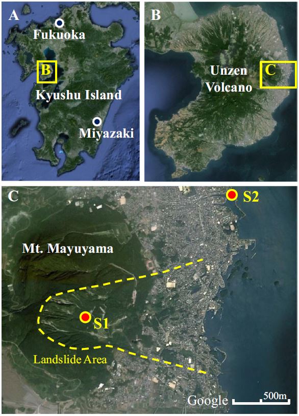
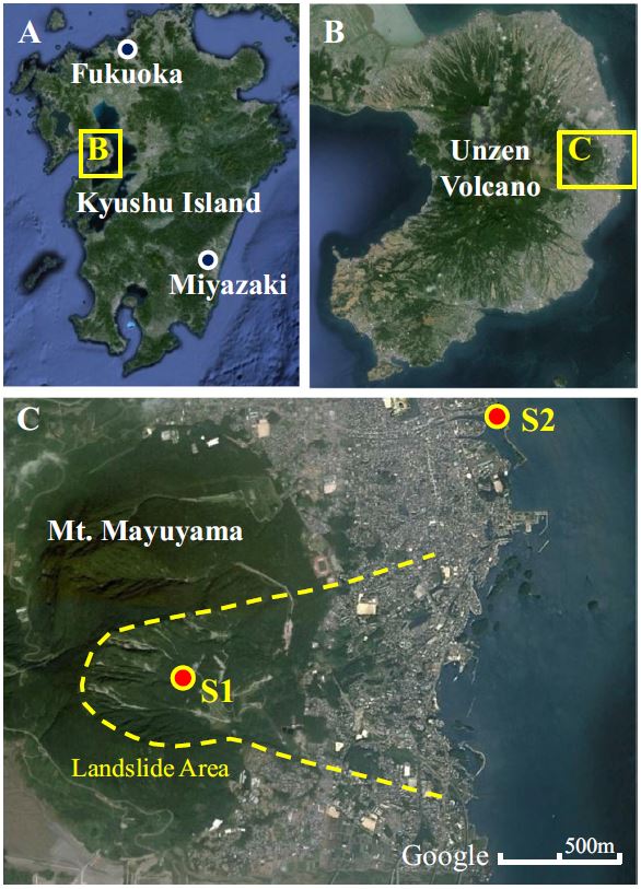
City / District: Shimabara
Province: Nagasaki
Country: Japan
Latitude: 32:45:51.51 N
Longitude: 130:20:54.16 E
Reporter
Reporter 1: Khang Dang
Reporter 2: Kyoji Sassa
Landslide Type
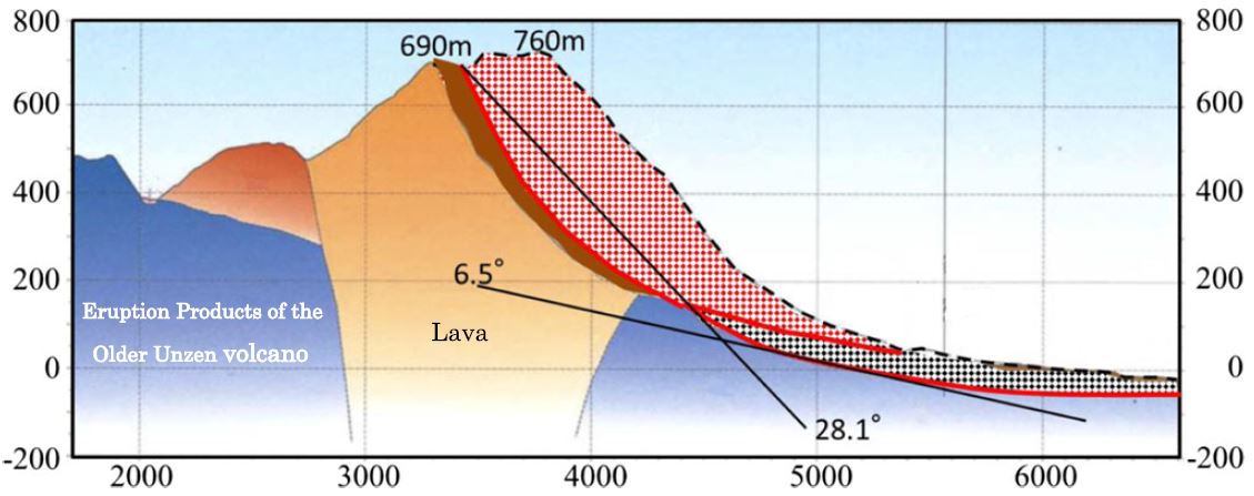
Material: Complex
Movement: Slide
Velocity (mm/sec): Extremely Rapid (5×10³ or more)
Depth (m): Very Deep (100 - 500)
Slope (degree): Moderate (20 - 30)
Volume (m³): Extremely large (10⁸ or more)
Date of Occurence
Date of Occurence: 05/21/1792
Other Information
Land use (Source Area): Forest
Land use (Run-out/deposition area): Farming, Urban area, Industrial use, Road, Railways, Sea/lake
Other Activity: Active in the past
Triggering Factor: Earthquake
Death(s) & Missing: 15153
Houses and other structural damage: -


